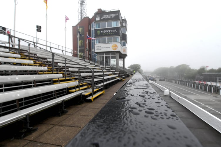
It is pretty much official – the Manx summer has been rubbish so far.
As we head towards the end of July we have barely enjoyed a couple of days of sunny weather strung together. Now more than ever, with school having just broken for the summer, parents will be praying for some decent weather.
Sometimes the perception is worse than the reality but Ronaldsway Met Office has confirmed July has been colder, wetter and less sunny than average.
And there is no guarantee the weather will improve much heading towards August, according to meteorological forecaster Stuart Davison.


He said: ‘Looking forward for the rest of summer, a continuation of the last few weeks is most likely, with some fine days interspersed with cooler, wetter days.’
But there is a sliver of hope for this weekend at least as Stuart added: ‘There are some tentative signs however that towards the weekend (July 27th/28th) that high pressure may build more widely improving the weather for the island. How long this high pressure lasts into next week though is uncertain.’
So far this month, up to July 21, the average maximum so far is 16.9°C which is well down on the average of 18.2C. The highest temperature so far this month has only hit that average of 18.2°C which happened on July 3 and 15.
Stuart added: ‘We have had 62.4mm of rain so far (July average as a whole is 60.1mm) so we have exceeded that average after 21 days. We are also running at around 83% of July’s average sunshine so far which means it is duller than average.’
But Stuart says the rather dismal weather should not come as a surprise for suffering Manx residents due to its geography.
He said: ‘This is nothing too unusual given that the British Isles is in Northwest Europe jutting out into the Atlantic Ocean. Some summers are wetter and cooler, some are warmer and drier.
‘This year has been particularly cool/unsettled as the jet stream has been shifted further south over the British Isles which leads to topsy turvy weather.
‘For warm and dry summers the jet needs to be to the north of the British Isles so we are on the warm side of it and draw warmer air north from the Mediterranean.’
Stuart also explained why the island missed out on some of the hot weather enjoyed by much of England and Wales over the last few days.
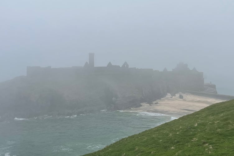
He explained: ‘The recent hot days in the south didn’t extend to the Isle of Man as there was a northwest/southeast split in the weather. In addition the wind direction was such that the warm southerlies came up through the Irish Sea and allowed mist/low cloud and fog patches to plague the island.
‘In any case, the island doesn’t really get heat waves as we are always surrounded by the cooler Irish Sea (peaking at 14 or 15°C by September each year) so the air is heavily modified by the time it reaches us.’
June has also been a pretty miserable month although it was drier if you can believe that.
Stuart said: ‘After six consecutive months with above average rainfall, June finally brought some drier weather with 36.5mm collected in the gauge, compared to the long term 30 year average of 62.9mm. The wettest day was June13 with 15.6mm. There were just seven days that saw 1mm or more of rain.
‘Although dry, it wasn’t warm – daily average across the month came to 15.8°C, which is over half a degree below the 30 year average and the coolest since 2012. The warmest temperature recorded at Ronaldsway was 19.6°C on June 26.
‘Sunshine totalled 206.8 hours which is right on the average. The best day was June 11 with 13 hours.
‘Wind speeds were also normal, with a mean across the month of 9.9 knots. The strongest gusts recorded at Ronaldsway were 35 knots on June 10 and 27.’